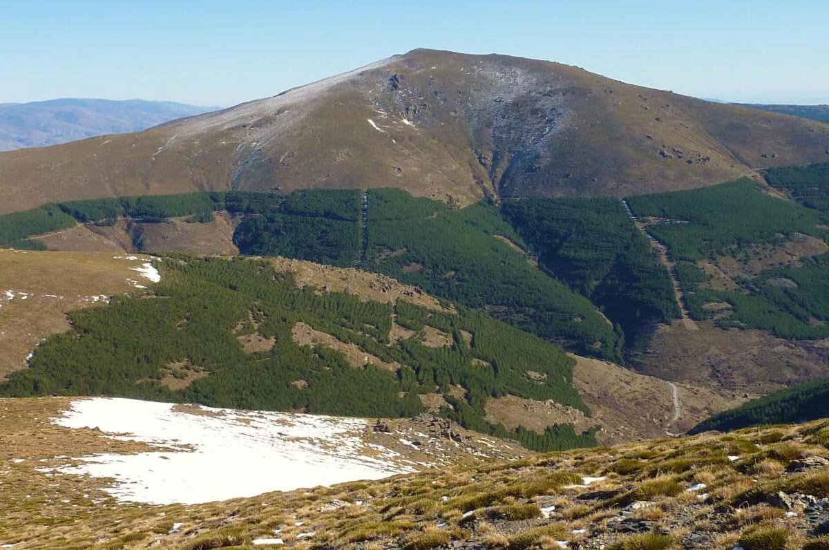
Whether you decide to attempt the challenge of climbing all of Andalucía’s highest peaks or cherry pick the ones that sound most appealing, it should be said that seeing this region from some of its highest points is an adventure that is hard to compare to anything else. With the richness of its natural parks and stunning views of Africa and Gibraltar, Andalucía is a hiking heaven which is still slightly off the beaten track – so if you like being at one with the nature in peaceful solitude, don’t miss out!
“He who climbs upon the highest mountains laughs at all tragedies, real or imaginary.”
(Friedrich Nietzsche)
Article by Anastasia Sukhanov
Granada province: Mulhacen (3.482 m)
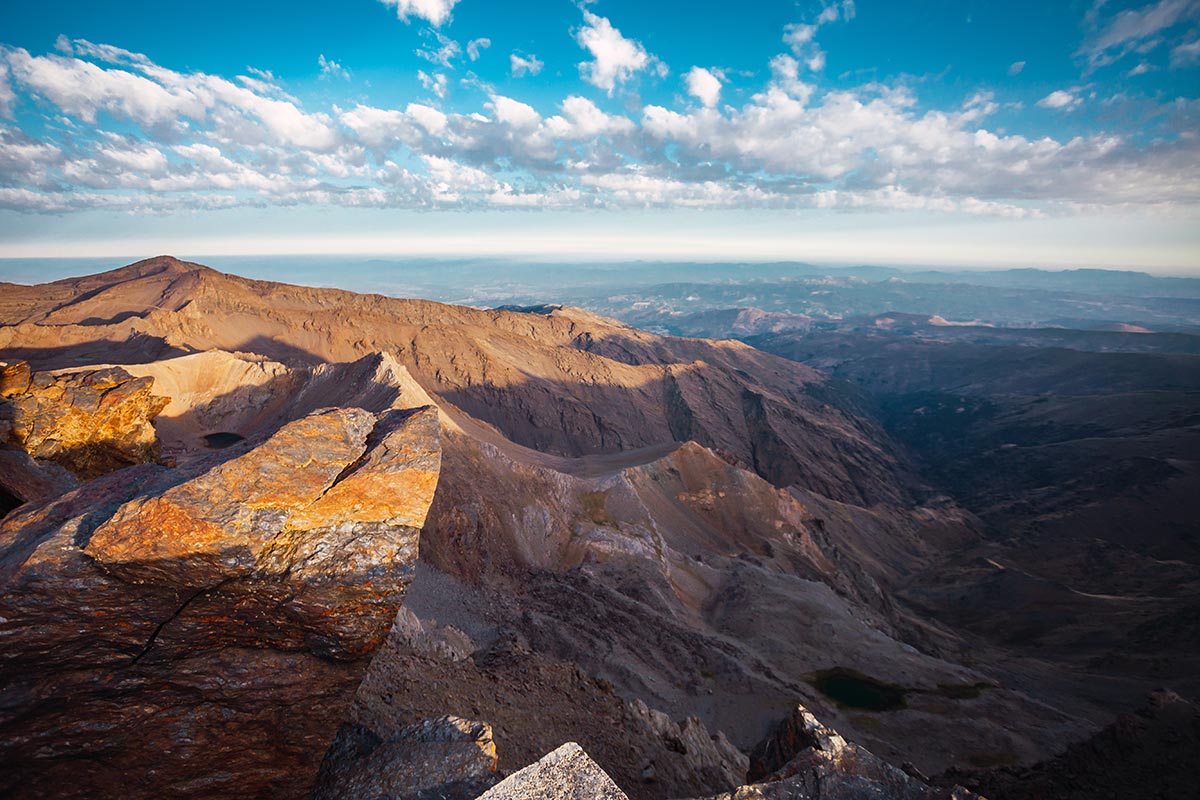
The Mulhacén is the highest mountain of mainland Spain and, more surprisingly, the highest mountain outside the Alps in all of Western Europe. Being part of the Sierra Nevada mountain range, it features dramatic landscapes and is one of Andalucía’s most impressive hikes. Named after the penultimate Moorish king that ruled in Granada in the 15th century, known as Muley Hacén.
The king fell in love with a Christian slave and married her, exiling his first wife. Unfortunately for the king, the latter was a direct descendant of Prophet Mohammed, and the separation led to civil war in Granada. Before his death and alleged burial on the summit of Mulhacen, the king regained popularity and was able to have both power and the love of his life. So quite a happy ending after all, allowing today’s hikers to pause at the summit and reflect on the transient nature of life, power and, sometimes, their leg strength.
There are three ways of getting to the top of Mulhacen: a four-hour direct ascent from the village of Capileira; doing the same route with a night stopover in Refugio Poqueira (at 2.500 m) and taking the municipal minibus that leaves the village of Capileira several times a day. It goes up for about an hour to the upper station (Alto de Chorrillo), from where there will only be about 30 minutes left of an easy ascent to the summit. On a clear day, one can see the Atlas Mountains in Morocco from this peak!
Málaga province: La Maroma (2.066 m)
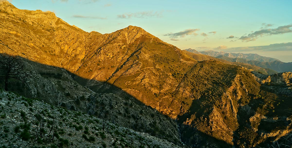
While climbing the Mulhacen is an impressive achievement, seeing it from a distance will do justice to its true scale. And for that, there is La Maroma – Malaga’s highest peak. The word “maroma” means rope, deriving from the thick ropes that the workers used to climb down the deep pit at the top of the mountain to get ice. The ice was then transported with donkeys down to the villages.
There are three hiking routes to La Maroma with the easiest being a route called “El Robledal” from Alhama de Granada, which will take only three hours and a steady 1.000-metres ascent. Alternatively, there is a route from Sedella, most of which can be done by car only leaving a couple hundred metres of ascent. The longest but also the most rewarding route starts in the village of Canillas de Aceituno and will take up to 9 hours depending on one’s fitness level. However, you will be rewarded by breathtaking views of the coast. All of the routes can be done throughout the year providing the summit is not under snow.
Cádiz province: El Torreón (1.654 m)
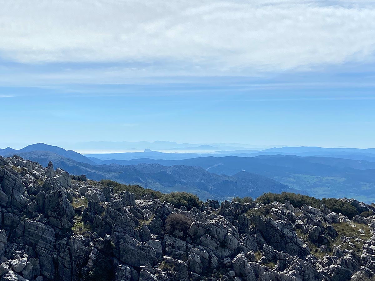
Now that is a great “value for money”, or rather “views for the effort” deal. The path to the top begins high up on the mountain road, so it’s less than 800m of ascent to reach the summit. With only a 3-hour medium-intensity hike under 7km long, you will get 360-degrees views of Sierra de Grazalema, its white villages, the coast of Morocco and Gibraltar. Sierra de Grazalema is one of the last places where pinsapo, the Spanish Fir, still grows – requiring the park to take care of the few that remain. Therefore, during the summer season (June to October) when forest fires are a risk, hiking is not allowed on El Torreón at all. In other months, one would need to obtain a hiking permit by visiting in person or emailing Grazalema visitor’s centre.
Almería province: El Chullo (2.600 m)
El Chullo is a great beginner’s hike for anyone wanting to start out on the peaks the hike from Puerto de la Ragua is a slow and easy ascent with less than 600 meters of elevation. The trail can be even walked in the snow, ice-capped mountain peaks being the reward in a country that is otherwise permanently between summer and spring. Situated just on the Almeria side of Sierra Nevada, you get constant views of the national park’s 3.000-metre peaks, including Pico de Veleta and Mulhacen in Sierra Nevada.
Huelva province: Pico Bonales (1.055 m)
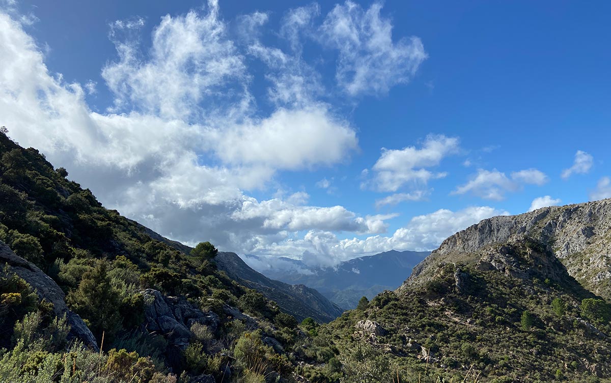
The trail to Bonales starts in the village of Arroyomolinos de León. An initial walk through idyllic farmland passing goats, sheep, pigs, and horses will then turn into lush forest trails, tracks, and open hills with astounding views. It’s a low difficulty path with a total distance of 22 km that won’t take you more than 6 hours. So much so that it may be linear or circular, depending on whether one decided to walk to the province of Extremadura to climb the Tentudía peak on the same day – which is not only doable, but makes for a perfect day spent entirely outdoors.
Jaén province: La Mágina (2.167 m)
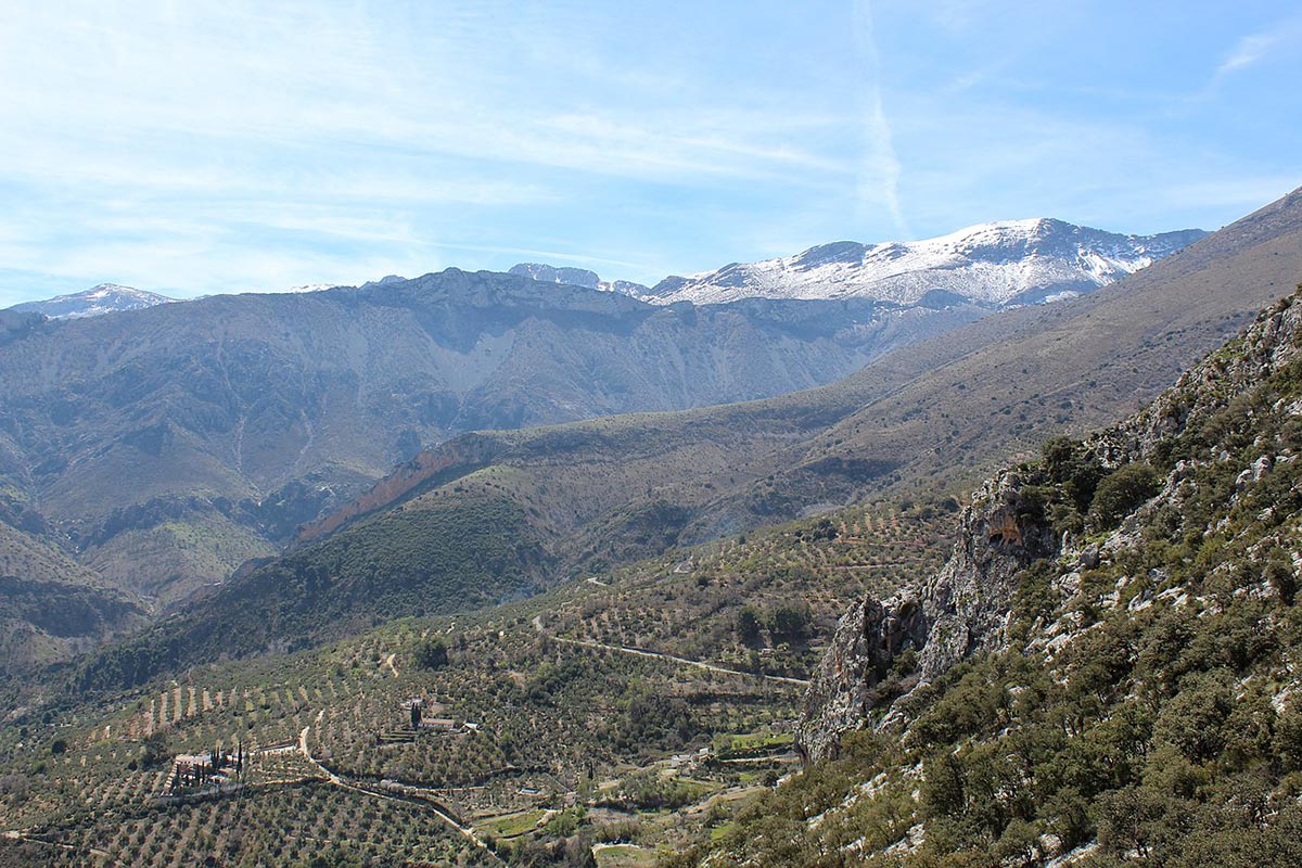
A long and rather hard 21 km trail, the way up to La Mágina may take up to 7 hours and should only be attempted during spring and summer seasons, as it can be icy otherwise. Starting at Puente del Gargantón, it will take one through impressive valleys, revealing views of the surrounding national park.
Córdoba province: La Tiñosa (1.570 m)
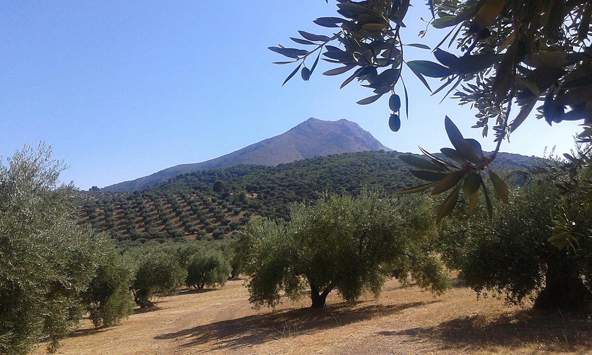
The hike up to Pico La Tiñosa starts in Las Lagunillas and is an easy 12.9 kilometer out and back trail. It is part of Sierras Subbéticas natural park, which became part of the European Geoparks Network in 2006, thus guaranteeing its geological heritage and making sure a range of wildflowers seen on the route is preserved as part of the ecosystem.
Sevilla province: El Terril (1.129 m)
Another great beginner level hike, the ascent to El Terril in Sevilla will only take four hours at a very leisurely pace, allowing one to take in the stunning scenery. Perpaps the most challenging part of this hike is finding where it begins – the trailhead is situated at km 8 in the middle of the road from the white village of Algámitas, near the Camping El Peñon. Pico El Terril can be climbed from September to May, but the hot summer months are to be avoided as it’s only the first kilometer of the trail that has any shade.


